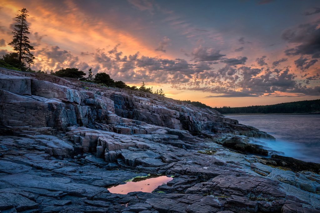
Best Hiking Trails In Acadia National Park (+All You Need For Planning)
Tucked away on Maine’s Atlantic coastline, Acadia National Park is a dazzling gem of natural…
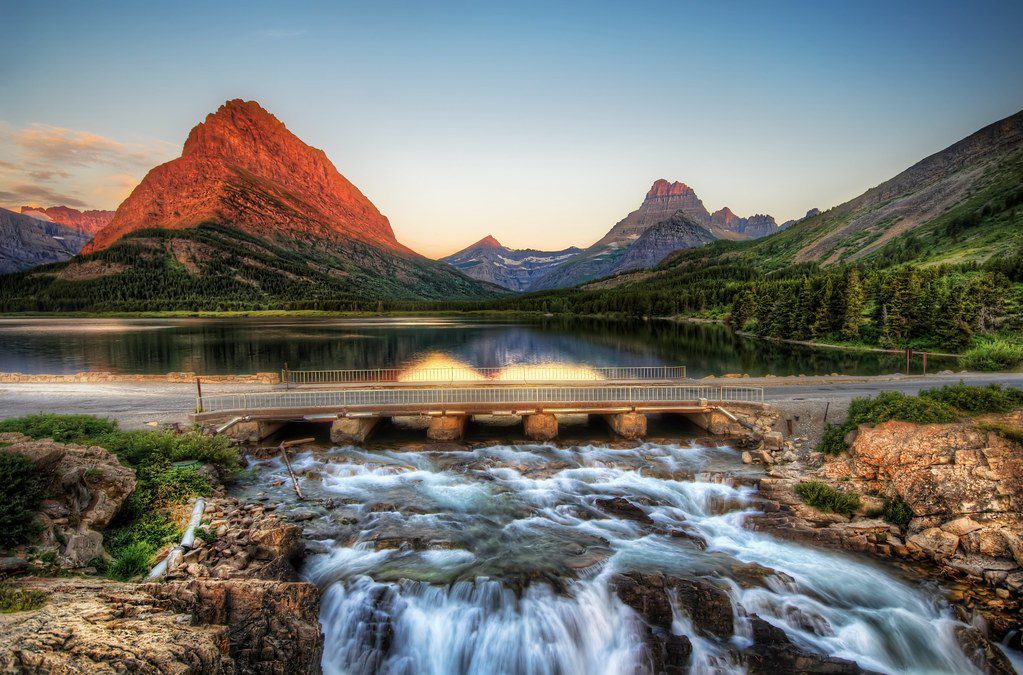
Best Hiking Trails in Glacier National Park (+All you need for planning)
Nestled in Montana’s Rocky Mountains, Glacier National Park is a treasure trove of natural beauty…
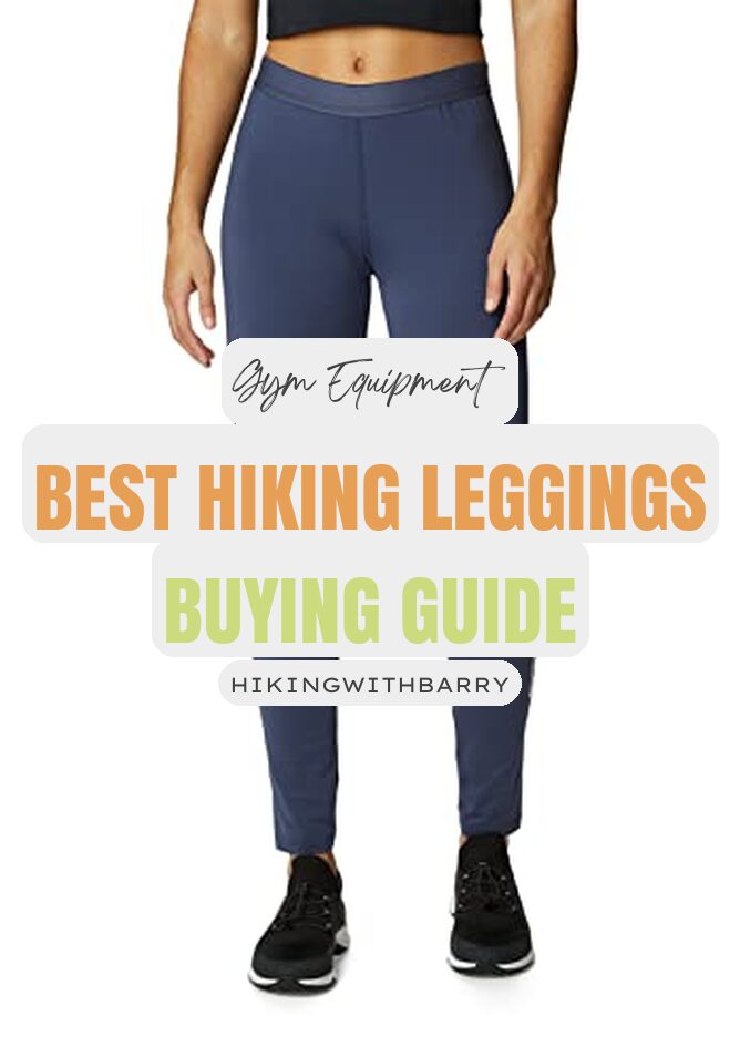
Best Hiking Leggings of 2023 – Buyer’s Guide and Reviews
Are you looking for the perfect leggings for your next hiking adventure? With so many…
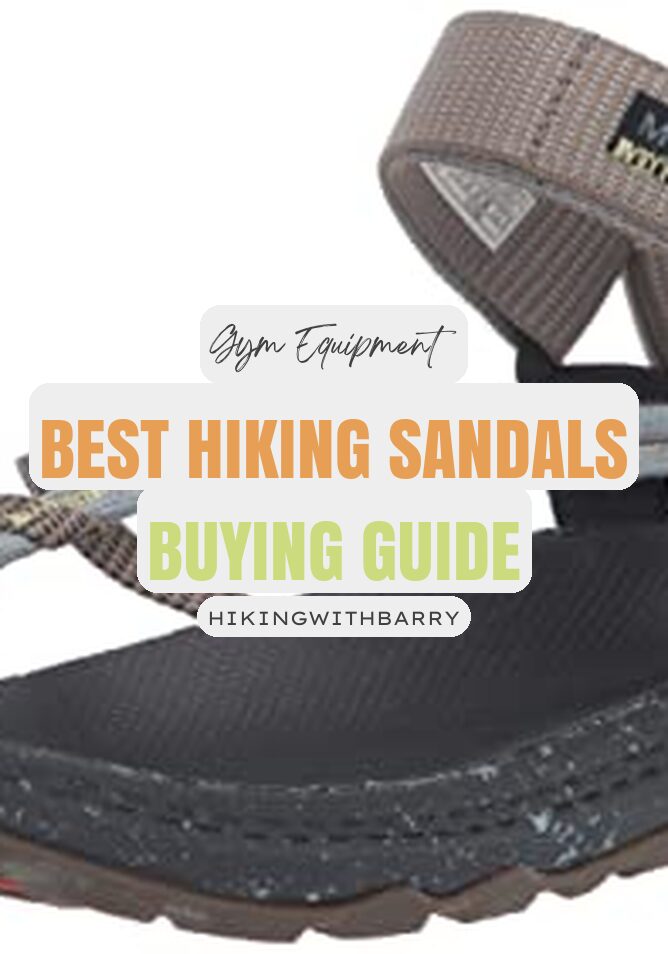
Best Hiking Sandals of 2023 – Buyer’s Guide and Reviews
Welcome, hikers! If you’re looking for the best hiking sandals to take on your next…
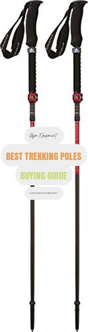
Best Trekking Poles of 2023 – Buyer’s Guide and Reviews
Are you an avid trekker looking for the best trekking pole for your next adventure?…
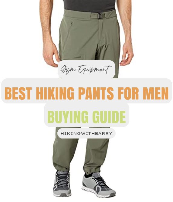
2023’s Best Men’s Hiking Pants – Buyer’s Guide and Reviews
Are you an outdoor enthusiast looking for the best men’s hiking pants to equip you…
Best Hiking Trails In Acadia National Park (+All You Need For Planning)
Tucked away on Maine’s Atlantic coastline, Acadia National Park is a dazzling gem of natural wonder that extends across more…
Best Hiking Trails in Glacier National Park (+All you need for planning)
Nestled in Montana’s Rocky Mountains, Glacier National Park is a treasure trove of natural beauty that spans more than 700…
Best Hiking Leggings of 2023 – Buyer’s Guide and Reviews
Are you looking for the perfect leggings for your next hiking adventure? With so many different styles on the market,…
Best Hiking Sandals of 2023 – Buyer’s Guide and Reviews
Welcome, hikers! If you’re looking for the best hiking sandals to take on your next outdoor adventure, you’ve come to…
Best Trekking Poles of 2023 – Buyer’s Guide and Reviews
Are you an avid trekker looking for the best trekking pole for your next adventure? With so many options on…
2023’s Best Men’s Hiking Pants – Buyer’s Guide and Reviews
Are you an outdoor enthusiast looking for the best men’s hiking pants to equip you for your next adventure? With…
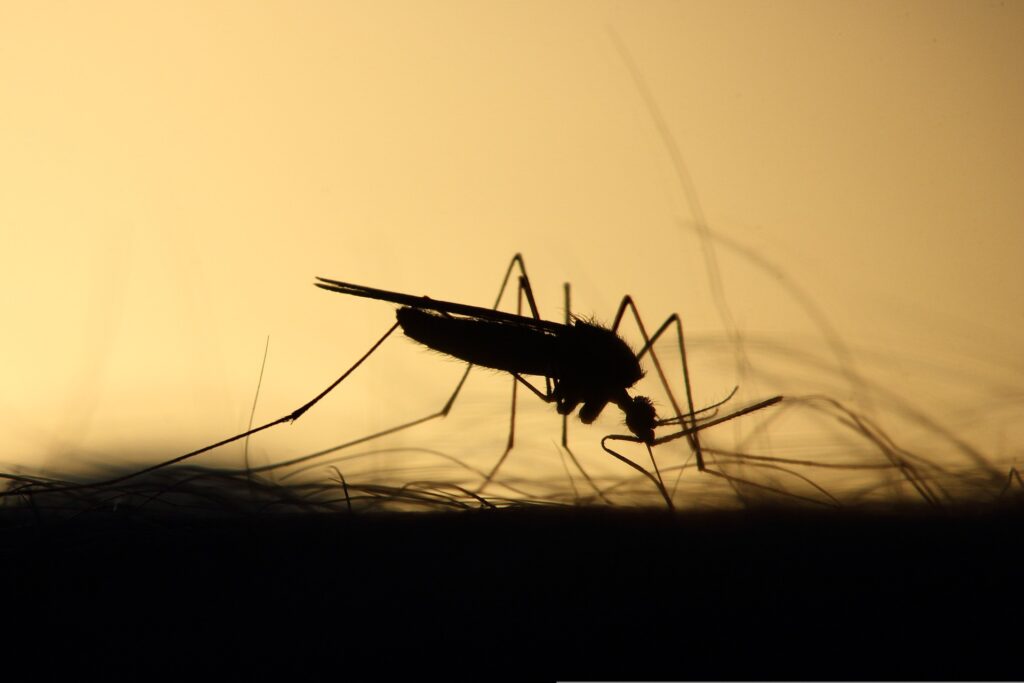
20 Ways To Keep Mosquitoes Away While Camping
It was bound to happen: The American Mosquito Control Association must have gotten fed up with the endless lousy press…
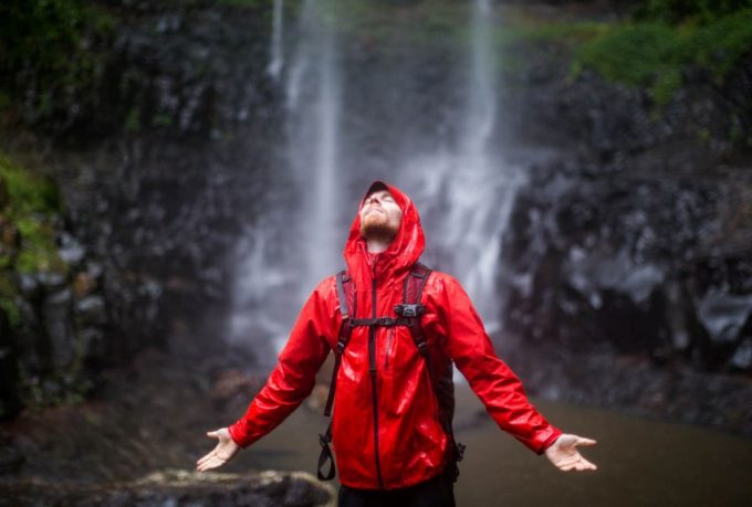
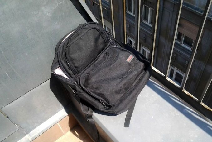
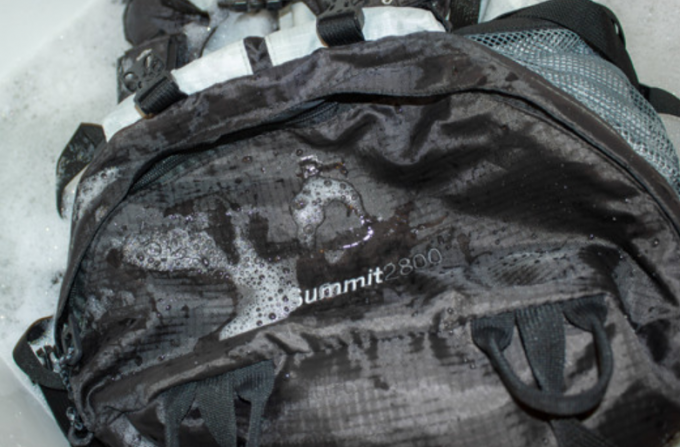
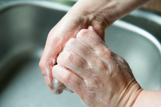
How to Wash Rain Jacket: Keep Your Gear in Shape
If you’ve ever been caught in a downpour in the wild, then you know how worth investing in qood quality…
Barry Wilcox
“I see the world through my feet”
I’m a hiker, hike leader, and outdoor writer. I’m involved in outdoor and conservation issues. These blogs and pages will inspire you to go and explore the outdoors, wherever you are. See you on the trail!


Subscribe to the Newsletter
Most Popular posts
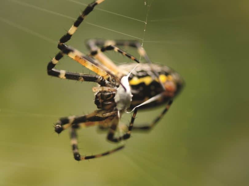
Most Venomous Spiders That Inhabit Our World Today
Spiders have mesmerized men ever since the dawn of times, mostly because these amazing creatures…
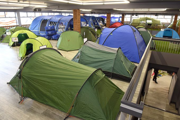
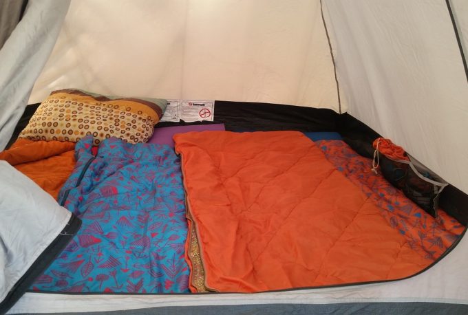
Sleeping In a Tent: Mr. Sandman, Bring Me a Dream
There is something about sleeping in a tent that makes us have a sense of…
Can You Eat Poison Ivy: Building a Better Immunity
If you’ve ever been outdoors, you know there are lots of toxic plants at every…
DIY Roof Top Tent: How to Make the Perfect Getaway Shelter
Spending the night in a tent on top of your car in nature is absolutely…
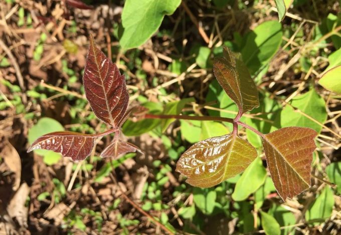
How Long Until Poison Ivy Rash Appears: How to Recognize Symptoms and Treat Rash
The number of people heading over to the mountains grows significantly larger during the warmer…
Best Hiking Sandals of 2023 – Buyer’s Guide and Reviews
Welcome, hikers! If you’re looking for the best hiking sandals to take on your next…
Subscribe to Hiking With Barry
Join our growing community of fellow adveturers